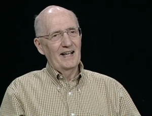
Remembering John Dwyer, a Longtime Landsat Stalwart
Dwyer was an explorer of new technologies and of data. Well-versed on both the science and system development sides of remote sensing, he was a natural fit at EROS.

Dwyer was an explorer of new technologies and of data. Well-versed on both the science and system development sides of remote sensing, he was a natural fit at EROS.
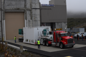
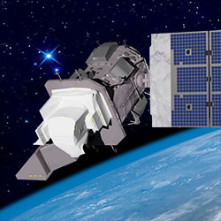
The Landsat 9 satellite has arrived at the VSFB on the central coast of California.
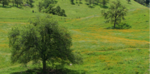
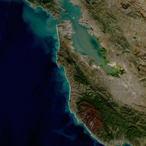
California’s blue oak woodlands have decreased by more than 1,200 square kilometers.
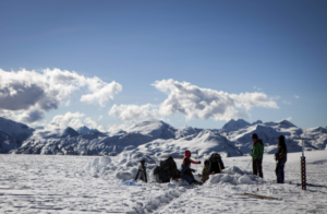
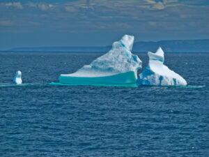
Mountaintop glacier ice in the tropics of all four hemispheres covers significantly less area than it did just 50 years ago.
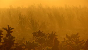
Landsat data stretching back 40 years show that vegetation loss is most stark in desert ecosystems already on edge of habitability.
‘Green tides’ of algae have wreaked havoc across the coastlines of Brittany, France, for half a century due to high levels of agricultural runoff. With efforts to reduce these underway, a new technique using over three decades of satellite images highlights the extent of the continuing problem.
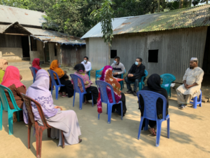
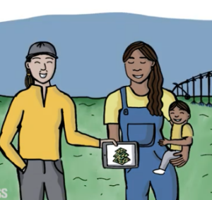
Putting NASA and USGS satellite information at farmers’ fingertips leads to less water use and better crop yields in South Asia.
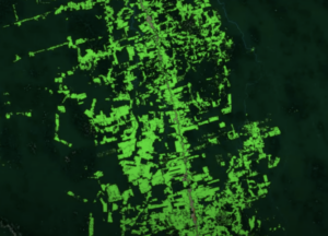
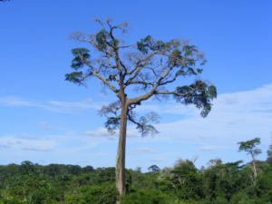
Scientists use Landsat to track changing patterns of deforestation that tells them how Amazonian agricultural practices have changed, from small family holdings to massive ranching operations.

Top honors were bestowed upon Virginia Norwood in recognition of her far-reaching impact on the field of remote sensing.
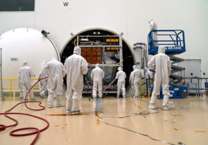
The Landsat 9 satellite has successfully completed its most strenuous environmental test leading up to launch.
The Harmonized Landsat Sentinel-2 (HLS) project offers daily, 30-meter global land surface data products to facilitate a wide range of terrestrial Earth science research.
During the month of March, as we collectively celebrate Women History’s Month, we want to share a fantastic trio of user case study videos published by the U.S. Geological Survey.
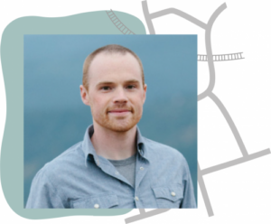
Justin Braaten is a code wizard, helping everyone from wildlife ecologists to machine learning experts more easily use Landsat.

More than two decades worth of Landsat satellite imagery was used to quantify how beetle outbreaks have impacted high-elevations forests in Colorado, southern Wyoming, and northern New Mexico.
The Liberian government, with the help of NASA and Conservation International, is using Landsat and GEDI data to estimate the country’s natural capital.
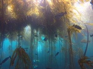
Most of Northern California’s kelp forest ecosystem is gone, replaced by widespread ‘urchin barrens’ that may persist long into the future, according to a new study.
Lidar measurements of surface water level combined with Landsat-based surface water maps have enabled the first quantification of how humans impact the water cycle.
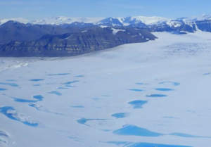
Antarctica’s George VI Ice Shelf experienced record melting during the 2019-2020 summer season.
UtahView’s Ellie McGinty has created a Google Earth Web Map showcasing Landsat’s history.
The Harmonized Landsat Sentinel-2 dataset has been provisionally released. Come explore Landsat 8 and Sentinel-2 data… together.
Landsat-based Global Forest Watch alerts seem to be helping slow down forest loss in Africa.

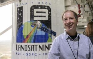
Landsat 9 Project Scientist Jeff Masek from NASA Goddard was interviewed for NOVA Now.
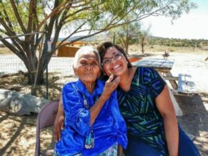
The NASA-funded Navajo Nation Drought Project has built a cloud-based web application that uses Landsat and Sentinel-2 data, among others, to improve drought reporting and management in the Navajo Nation.
This new four-part video series shares the history of Landsat, how Landsat 9 works, how Landsat data gets from the satellite to the ground, and how Landsat data can be used with other data to support a wide range of research and applications. Enjoy!
November 30, 2020 • This month, the world lost a giant in the world of quantitative remote sensing. David A. Landgrebe passed away on November 21,
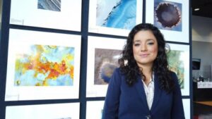
Scientist and Landsat data user Africa Flores recently talked with Science Friday about her work.
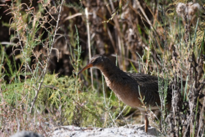
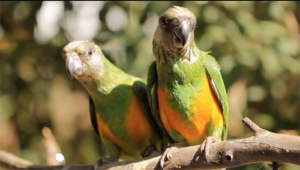
By Morgan Spehar, NASA’s Goddard Space Flight Center The Yuma Ridgway’s rail, a chicken-sized bird that looks like a cross between a duck and a crane,
Landsat 9 Project Scientist Jeff Masek joined astronaut Jessica Meir and other researchers to discuss the role of space and aviation technologies in studying our changing world as part of the Smithsonian Conservation Commons’ Earth Optimism initiative.

Farmers rely on the accuracy of a crucial NASA and USGS mission, Landsat, to make decisions about crops.
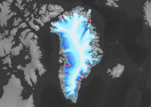
Many of the Greenland’s glaciers are retreating while also undergoing other physical changes.
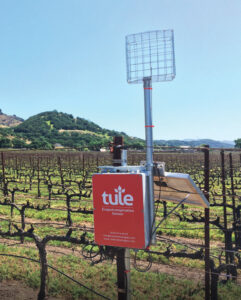
A young start-up is using satellite data to give California farmers better information about water, which can translate into water savings or bigger yield for the same input.
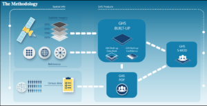
A number of new data products with information derived from Landsat inputs have become available recently.
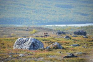
Using satellite images to track global tundra ecosystems over decades, a new study found the region has become greener, as warmer air and soil temperatures lead to increased plant growth.
