

 Operational Land Imager 2
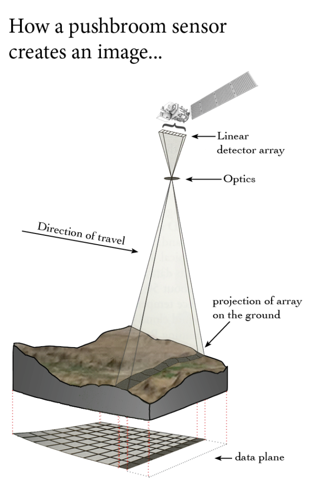
The Ball Aerospace & Technologies Corporation built Landsat 9’s Operational Land Imager 2 (OLI-2). OLI-2 takes measurements in the visible, near infrared, and shortwave infrared portions of the electromagnetic spectrum. The spatial resolution of its images is 15 m (49 ft) for the panchromatic band and 30 m (98 ft) for the multispectral bands. The image swath is 185 km (115 mi) wide, covering wide areas of the Earth’s landscape while providing sufficient resolution to distinguish land cover features like urban centers, farms, and forests.
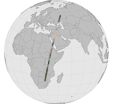
Landsat 9’s near-polar orbit precesses at the same rate the Earth rotates around the sun, allowing the entire Earth to fall within view every 16 days at the same local solar time.
OLI-2 Design The OLI-2 design is a copy of Landsat 8’s OLI. The OLI-2 instrument provides visible and near infrared / shortwave infrared (VNIR/SWIR) imagery consistent with previous Landsat spectral, spatial, radiometric and geometric qualities.
A difference, however, is that Landsat 9 downlinks all 14 bits of data produced by OLI-2, providing a greater bit depth for its imagery as compared to the 12-bit data downlinked from Landsat 8’s OLI. An impact of this change is that OLI-2 provides additional, useful information for dark targets (e.g. water bodies).
The OLI-2 instrument includes an optical telescope, Focal Plane Array / Focal Plane Electronics (FPA/FPE), calibration hardware, and instrument support electronics. OLI-2 provides data for nine spectral bands with a maximum ground sampling distance (GSD), both in-track and cross track, of 30 m (98 ft) for all bands except the panchromatic band, which has a 15 m (49 ft) GSD. OLI-2 provides both internal calibration sources to ensure radiometric accuracy and stability, as well as the ability to perform solar and lunar calibrations.
+ more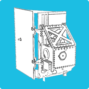
Thermal Infrared Sensor 2
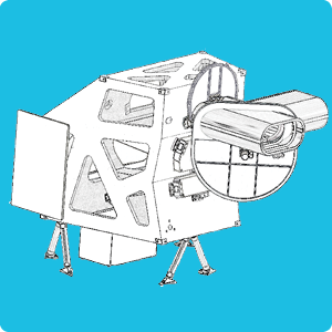
Landsat 9’s Thermal Infrared Sensor 2 (TIRS-2) measures land surface temperature in two thermal infrared bands using the same technology used for TIRS on Landsat 8, which uses principles of quantum physics to measure emissions of infrared energy. TIRS-2 is an improved version of Landsat 8’s TIRS, both with regards to instrument class and stray light reduction (see Montanaro et al., 2022).
However, both the design and specs for TIRS-2 are closely aligned with that of TIRS. The TIRS-2 instrument is a two-band thermal imaging sensor that provides imagery consistent with Landsat 8 thermal spectral, spatial, radiometric and geometric qualities to enable consistent retrieval of surface temperature. TIRS-2 provides two spectral bands with a maximum ground sampling distance, both in-track and cross track, of 100 m (328 ft) for both bands. TIRS-2 provides an internal blackbody calibration source as well as space view capabilities.
+ more
Now That’s Classy On Landsat 9, OLI-2 and TIRS-2 both have a five-year design life (Class B instruments). Because of the very limited build time for Landsat 8’s TIRS instrument, it was built with a three-year design life (Class C instrument).
Get the Ghost Out Landsat 8’s TIRS instrument has a stray light issue that allows light outside the image to reach the focal plane and reduce the accuracy of its thermal measurements, especially for Band 11. This has been remedied in TIRS-2. Details available in:
Montanaro et al., “Landsat 9 Thermal Infrared Sensor 2 (TIRS-2) Stray Light Mitigation and Assessment,” in IEEE Transactions on Geoscience and Remote Sensing, vol. 60, pp. 1-8, 2022, Art no. 5002408, doi: 10.1109/TGRS.2022.3177312.
