Ten Years of TIRS: Data for a Thirsty World
Landsat 8 very nearly flew without a thermal infrared sensor. This is the backstory of how TIRS made it onto Landsat 8.

Landsat 8 very nearly flew without a thermal infrared sensor. This is the backstory of how TIRS made it onto Landsat 8.

Opening the Landsat archive has benefited science and society.
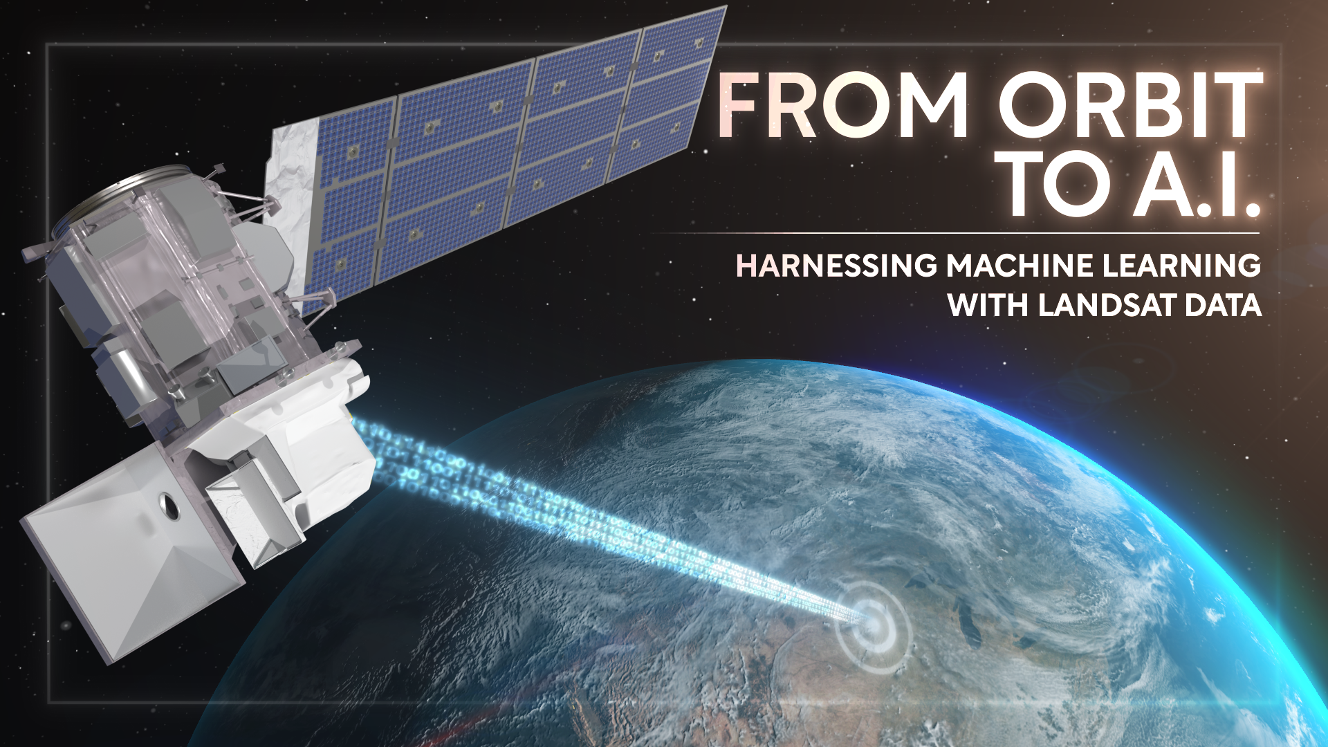
Over the past few years, machine learning techniques have been increasingly used to analyze the vast amount of data collected by the Landsat mission, which has been circling the globe for over 50 years.
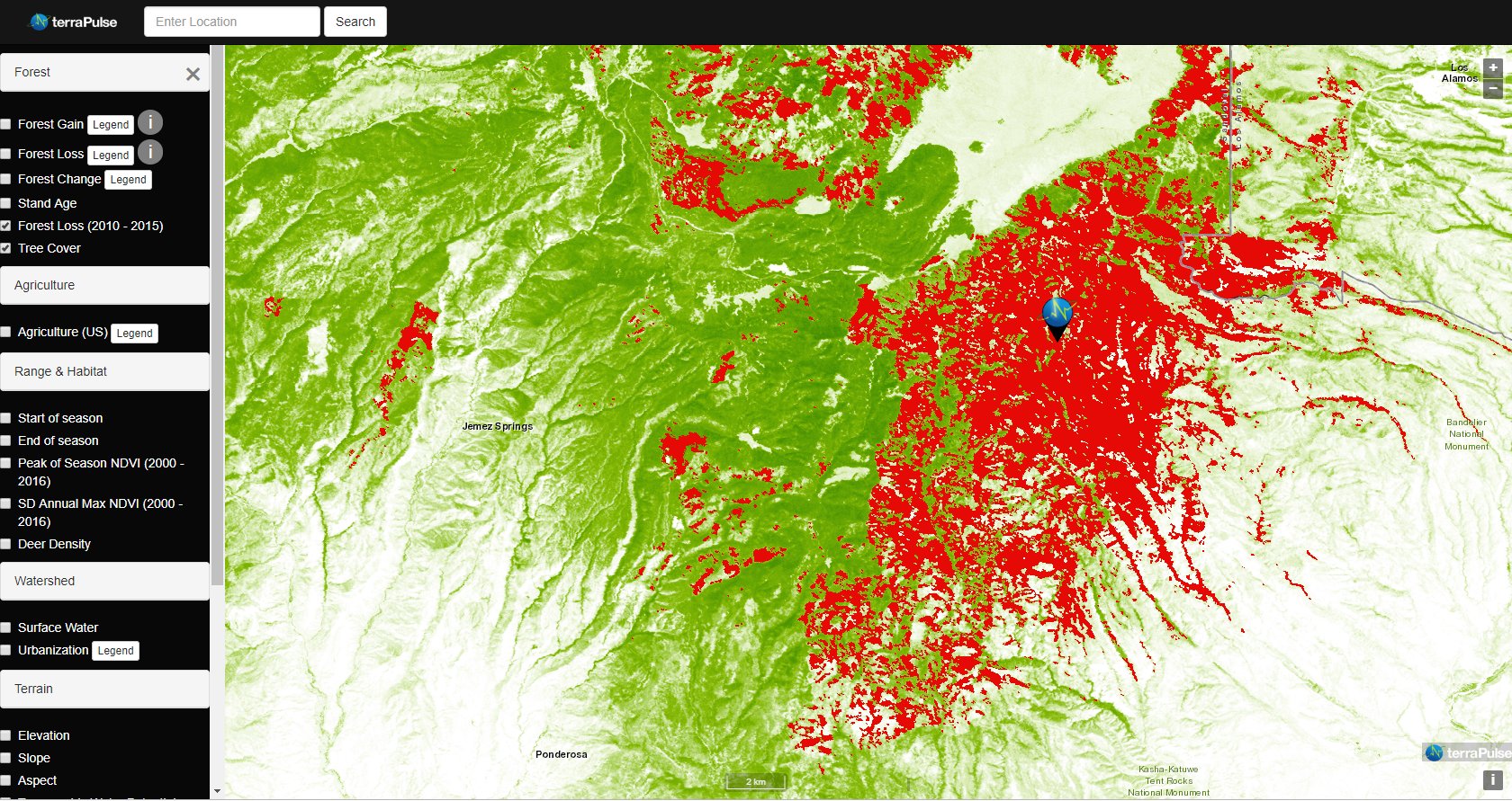
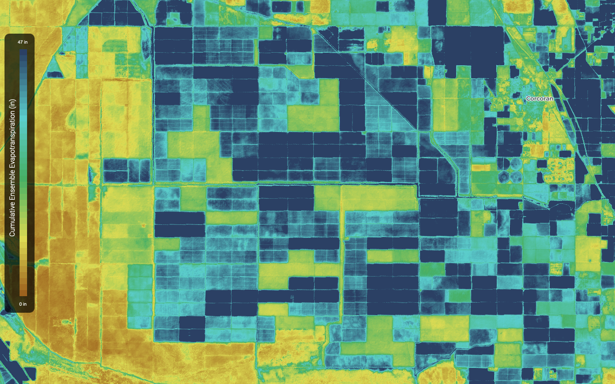
Applying AI to Earth data—including Landsat—helps terraPulse reveal sustainable options for farming, reforestation, and land management.
Merging data from multiple satellites, OPERA can help government agencies, disaster responders, and the public access data about natural and human impacts to the land.
Washington-Allen is a longtime Landsat data user working towards drylands restoration and sustainability solutions.
The collaboration between NASA and IBM is a unique application of artificial intelligence (AI) foundation model technology to NASA Earth observation data.
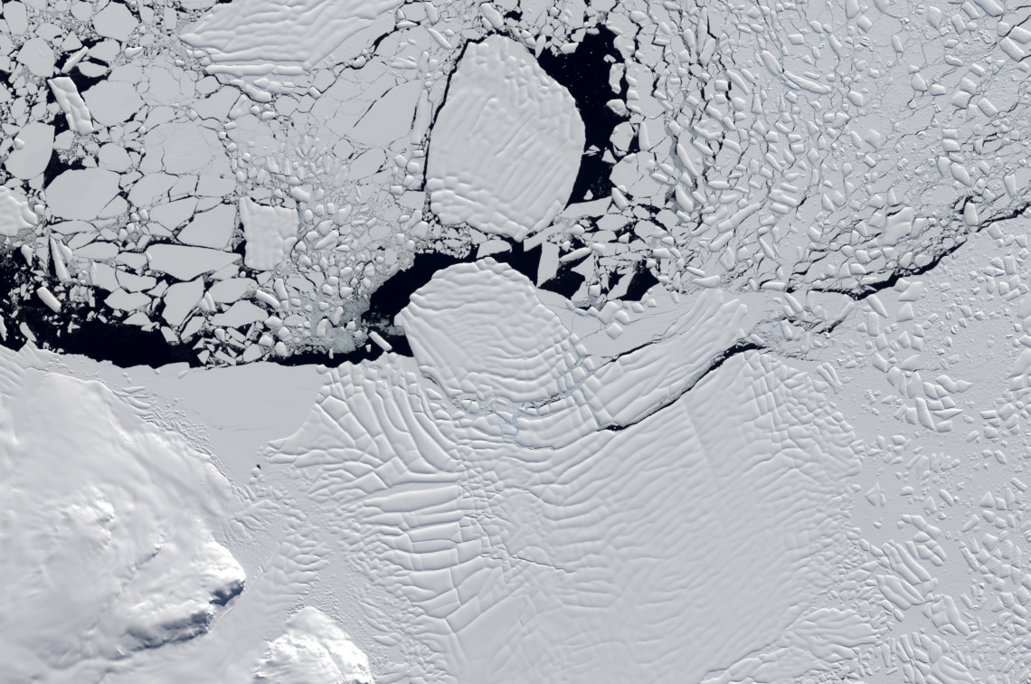
An international team of researchers has combined satellite imagery and climate and ocean records to obtain the most detailed understanding yet of how the West Antarctic Ice Sheet – which contains enough ice to raise global sea level by 3.3 metres – is responding to climate change.
NASA Harvest gathered agricultural remote sensing experts to discuss how Landsat fundamentally transformed agricultural monitoring over the last half century.
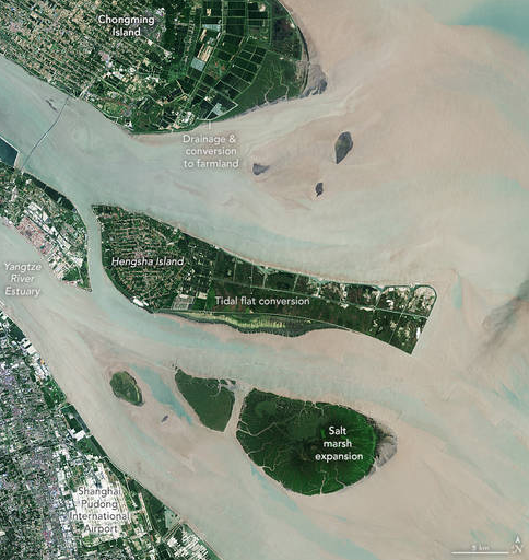
The world has lost 561 square miles (1,453 square kilometers) of salt marshes over the past 20 years.
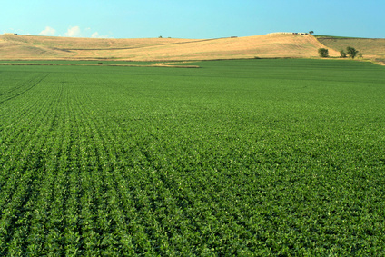
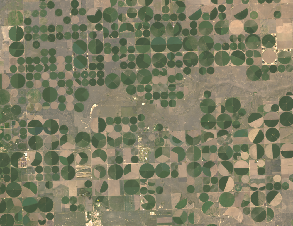
Satellites offer a wealth of information pertinent for water and food security. Landsat has long been a foundational piece of the “Space for Ag” initiative.
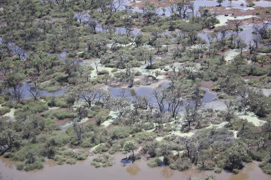
New research uses Landsat observations and advanced computing to chronicle wetlands lost (and found) around the globe.
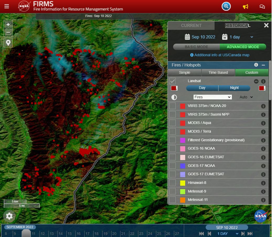
Thirty-meter Landsat 8 and 9 data have been added to NASA’s Fire Information for Resource Management System (FIRMS).
Nestled in the science-based information that park rangers share with visitors to Glacier Bay National Park and Preserve are insights from Landsat satellites and NASA climate scientists.
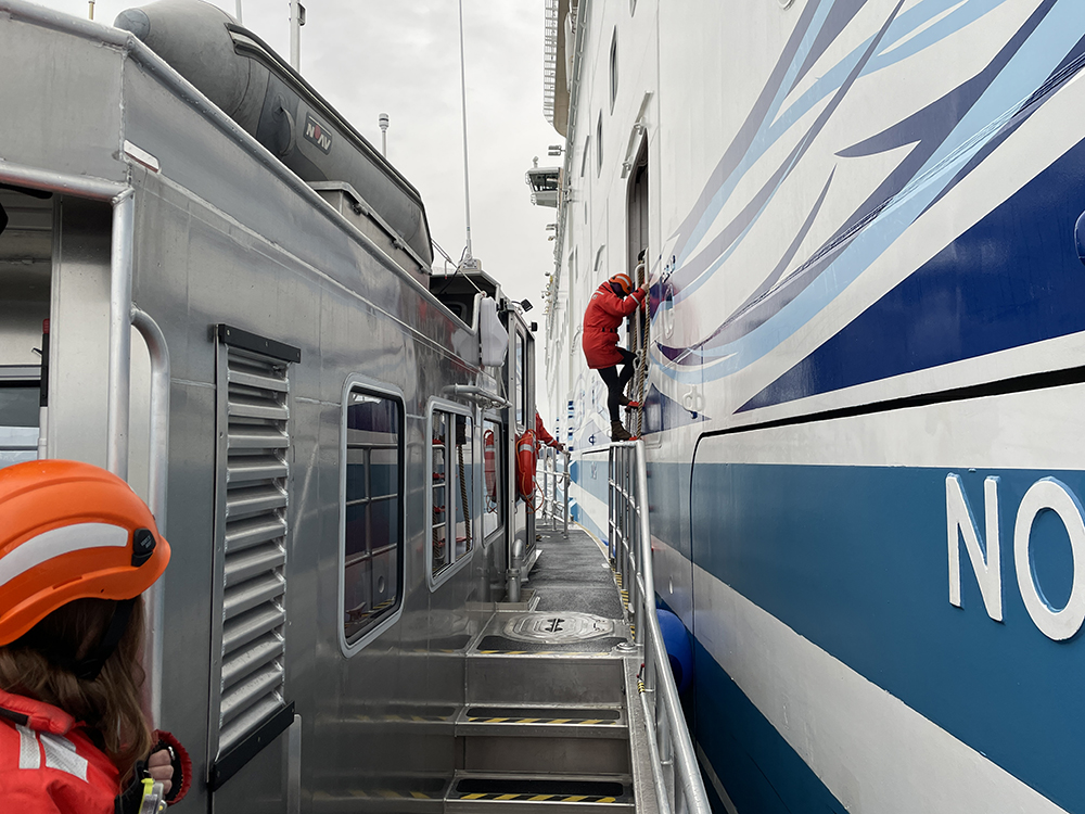
UCONN remote sensing experts used Harmonized Landsat Sentinel-2 imagery to quickly assess damage caused by the storm’s aftermath, providing spatially-relevant situational awareness that could aid rescue efforts.
Airborne Snow Observatories, Inc. uses higher-resolution snow cover data from Landsat to update their model snow cover.
More frequent satellite observations, such as those of the Harmonized Landsat Sentinel-2 (HLS) dataset, are needed to fully capture flood dynamics in regions experiencing short-lived, ephemeral flooding.
Scientists from NASA’s Goddard Space Flight Center and the University of Maryland, College Park, investigated how the acoustics of a forest can be a cost-effective indicator of its health—and Landsat allowed them to see back in time.
After 50 years of Landsat, discovery of new commercial and scientific uses is only accelerating.
Landsat has shown that wildfires and climbing temperatures have caused a 6.7 percent decline in California tree cover since 1985.
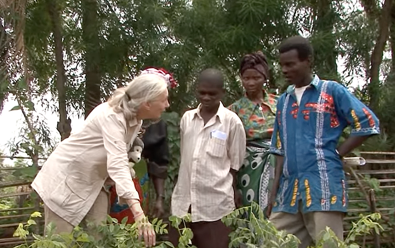
The Jane Goodall Institute (JGI) uses satellite observations, including data from the NASA and USGS Landsat satellite series, in their efforts to work in partnership with local residents to understand and protect chimpanzee habitats.
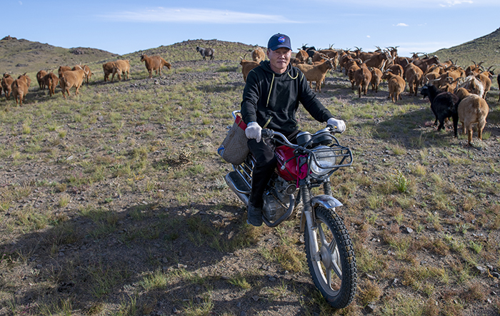
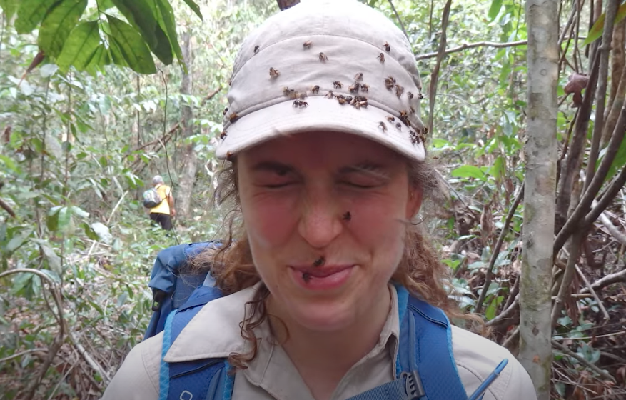
Landsat allows herders to monitor vast expanses of desert in a way traditional field monitoring can’t support.
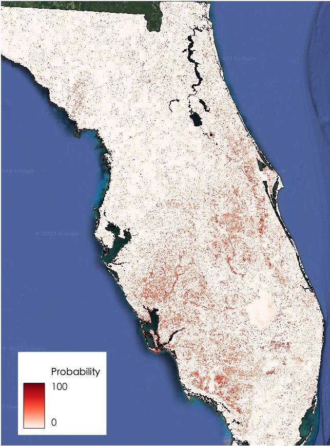
A new analysis found that between 34,000-38,000 could have been reduced with local increases in green vegetation in US metropolitan areas from 2000-2019.
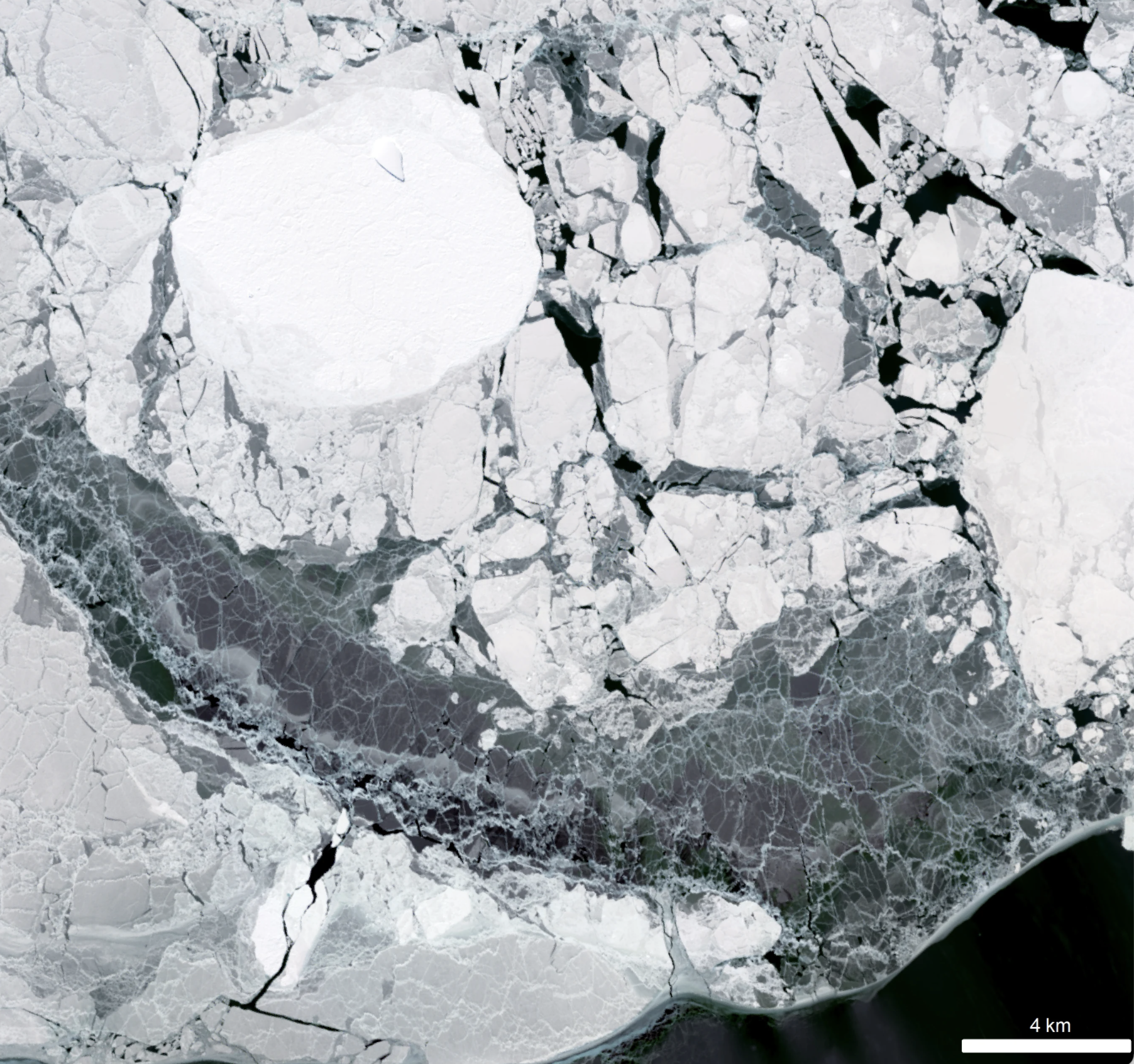
Despite the rapid melting of ice in many parts of Antarctica during the second half of the 20th century, researchers have found that the floating ice shelves which skirt the eastern Antarctic Peninsula have undergone sustained advance over the past 20 years.
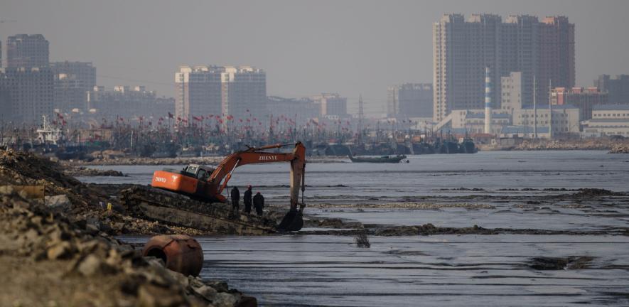
An analysis of over a million Landsat images has revealed that 4,000 square kilometres of tidal wetlands have been lost globally over twenty years.
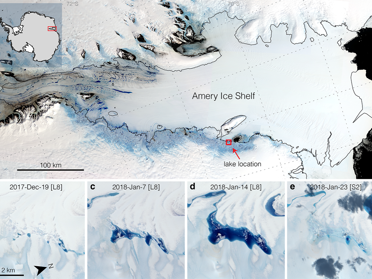
Satellites have helped show that strong tidal activity may facilitate water-induced fracturing, or hydrofracturing, where land ice transitions to floating ice shelf and cause the meltwater lake to drain quickly, often in as little as several days.
The Landsat-informed kelpwatch.org hosts the world’s largest open-source dynamic map of kelp forest canopy.
BBC’s Follow the Food documentary series has reported on Earth observations supporting food production, market stability and on-farm decisions.

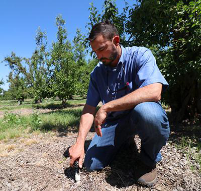
NASA is partnering with farmers to deliver new technology, new tools and new data to help producers make decisions at every level, from the farm field to the state to the nation to the world.
New Michigan State University research found that incorporating in-season water deficit information into remote sensing-based crop models significantly improves corn yield predictions.
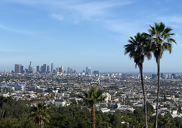
Rooftop gardens and greenery can help ease some of the severe heat in cities, according to research from climate scientists at NASA’s Goddard Institute for Space Studies (GISS) in New York.
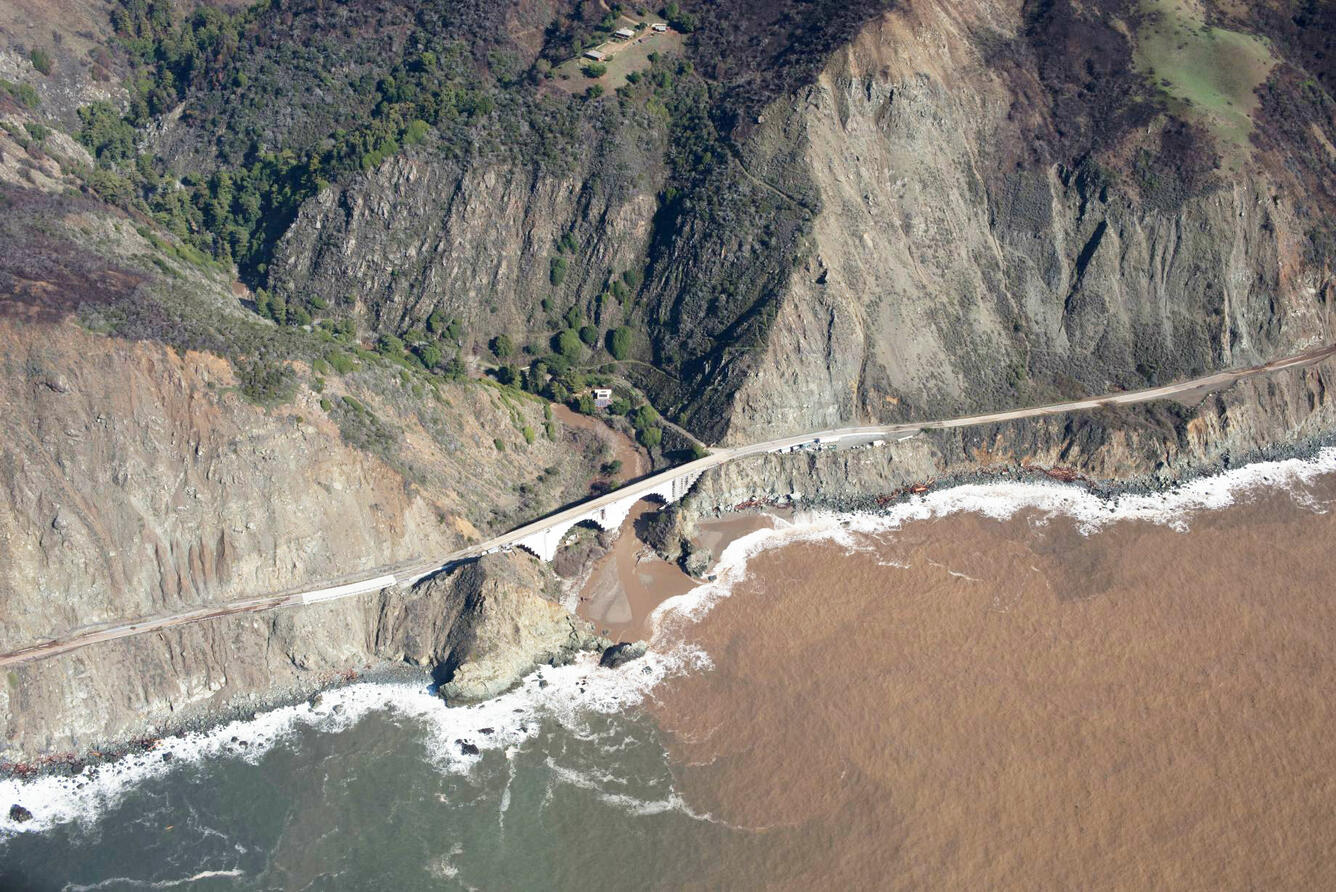
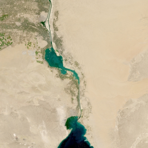
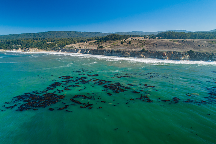
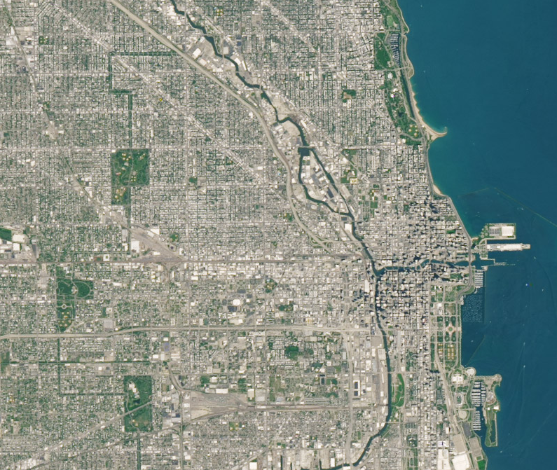
A new study combines decades of Landsat and Sentinel-2 imagery with hydrologic and oceanographic data to look at how changes on land affect coastlines in Big Sur, California.
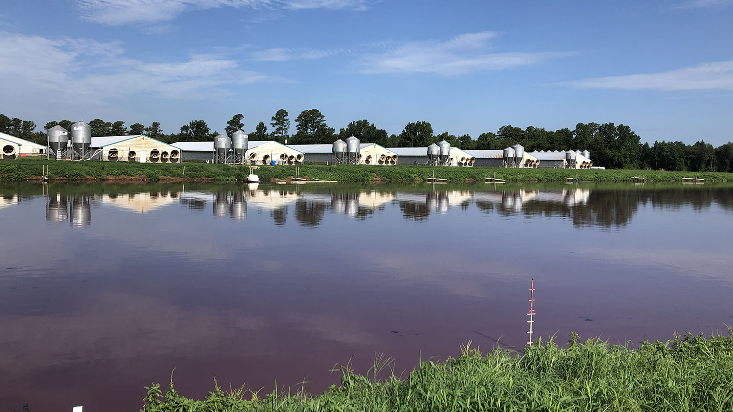
Researchers at North Carolina State University have developed an automated technique that uses Landsat to determine when swine waste lagoons were constructed and how they may have affected environmental quality.
