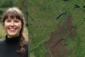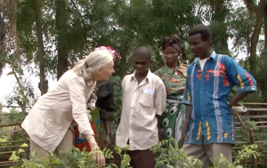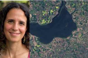
50 Years, 50 Stories: Inbal Becker-Reshef
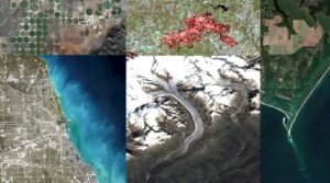
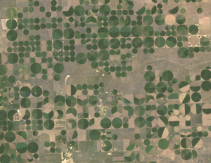
I use Landsat data alongside other satellite and field data to map where and when crops like wheat are growing, to analyze different management practices including when crops are planted and harvested, to assess crop health and to forecast end of season yields.