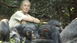
Joining Jane Goodall in Conserving Chimpanzee Habitats
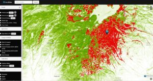
The Jane Goodall Institute has been working with NASA and using Earth science satellite imagery and data—including Landsat (NASA/USGS)—in its chimpanzee and forest conservation efforts in Africa, particularly the Gombe region.