
Data Wrangling with Dana Ostrenga
Data interoperability expert Dana Ostrenga explains how government and commercial Earth observation satellites provide broader support to the scientific community when used together.

Data interoperability expert Dana Ostrenga explains how government and commercial Earth observation satellites provide broader support to the scientific community when used together.
Why do we calibrate Landsat data? We spoke with Brian Markham, a key figure of Landsat calibration science for four decades. He said that it all comes down to this: “If we’re using a system to quantify changes on the Earth, we must make sure the system we’re using is not changing.”

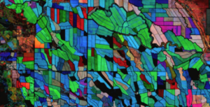
Grasslands tend to get left out of conservation discussion. New research from the World Resources Institute maps how they’ve changed over the past 20 years.

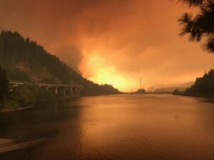
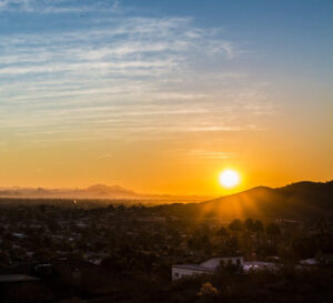
Wildfires have been increasing in frequency and size across North America in recent years. British Columbia is no exception to that trend; more than 4% of the heavily-forested province has burned since 2017. In 2023, Canada saw its worst wildfire season in recorded history. These high intensity fires affect ecosystem health and local economies, as timber is a major industry in BC.
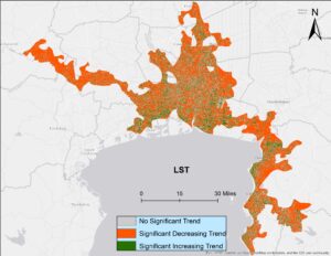
Looking at urban heat islands, researchers found that changing trends in vegetation influence land surface temperature in the Lower Mekong Delta cities.

South Korea is facing a water quality problem. Researchers Hyunglok Kim and Seongjun Lee from the Gwangju Institute of Science and Technology (GIST) embarked on developing a model to predict water quality indicators in near real-time.
With Landsat-based ET embedded in more and more water rights and conservation tools, Willardson and the Western States Water Council are eager to see Landsat Next with its higher spatial resolution, more frequent observations, and additional spectral bands, built and launched.
Ross Walter, from the Landsat Outreach Team, has turned a much used, but static, Landsat Spectral Band Comparison graphic into a dynamic, multifaceted tool that enables users to compare different sensors and output the comparison graphics they need.
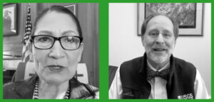
In an Instagram Live event titled “Guided by Science,” Deb Haaland, U.S. Secretary of the Interior, spoke with USGS Director Dr. David Applegate. The Landsat portion of that discussion is shared here.
Bex Dunn is an Earth Observation Scientist at Geoscience Australia where she uses Landsat data to better understand wetlands.
Julia Barsi calibrates instruments on Landsat satellites.
Washington-Allen is a longtime Landsat data user working towards drylands restoration and sustainability solutions.

Wu wants anyone to be able to derive meaningful information from geospatial data like Landsat.
The Harmonized Landsat Sentinel-2 (HLS) project offers daily, 30-meter global land surface data products to facilitate a wide range of terrestrial Earth science research.
Justin Braaten is a code wizard, helping everyone from wildlife ecologists to machine learning experts more easily use Landsat.
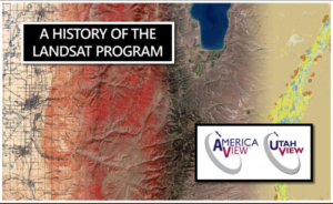
UtahView’s Ellie McGinty has created a Google Earth Web Map showcasing Landsat’s history.

Goldberg will launch Cloud to Classroom, an innovative project that uses satellite imagery to help K-12 classrooms understand global environmental change through remote sensing.
How the fields of epidemiology and remote sensing intersect to help the public.
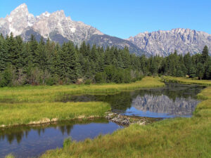
Ecologists are using Landsat to locate waterbird habitat that may be vulnerable in dry years.

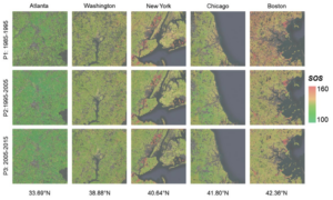
Landsat-based urban extent and phenology indicators provide new information about urban environments.
IndigoAg is using HLS data to help fulfill its mission of making farms more profitable and sustainable.
Fires in forested watersheds that support drinking water supplies can introduce contaminants that overwhelm current treatment capabilities. Earth observation data are helping.
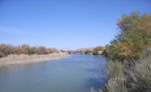
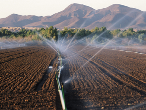
New Mexico is one of the most arid states in the US, and precise and accurate information on water use is of utmost importance.
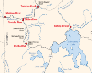
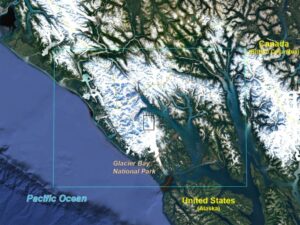
Landsat is among the resources that scientists are using to assess hazards and track volcanic activity in Yellowstone.
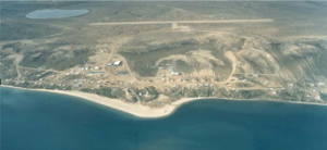
Southwest Banks Island has experienced the deleterious effects of climate change.
By Laura E.P. Rocchio December 11, 2019 • Dr. Christopher Shuman is a glaciologist with NASA Goddard Space Flight Center and the University of Maryland at
Landsat helped confirm and quantify what was only anecdotally known before: beaver dams make wetlands uniquely resistant to wildfires.
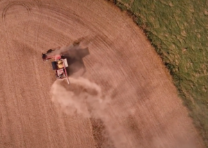
Remote sensing can aid the monitoring and evaluation of incentivized farming programs like the one in Maryland.
Socio-economically vulnerable populations are at a higher risk of experiencing urban heat effects.
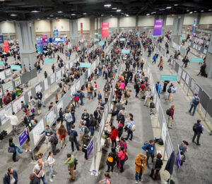
At the 2019 AGU Fall Meeting, over 500 presentations feature research conducted with the aid of Landsat data.
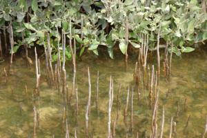
A group of researchers have used Landsat data to help solve a case of missing mangroves in Saudi Arabia’s Jubail Conservation.
New insights on how vegetation phenology in urban and surrounding areas respond to urbanization.
USGS EROS scientists are leveraging the capability and history of Landsat along with weather data to map landscape-wide water consumption.
