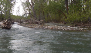
How Landsat Helps Alert Communities to Local Flood Hazards
For larger rivers, Landsat provides a rich dataset to define spatiotemporal patterns of channel shifting.

For larger rivers, Landsat provides a rich dataset to define spatiotemporal patterns of channel shifting.
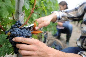
Landsat thermal bands allow for the measurement of water use and moisture status at the management scale.
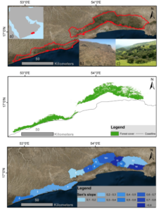
Learn more about this rather unusual seasonal and semi-arid cloud forest.
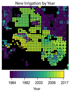
A new method to use the full Landsat archive to produce annual maps of irrigated area over the High Plains Aquifer in the central United States.
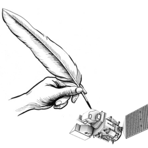
Poetry and the arts can humanize science.

Scientists are now able to determine what penguins are eating from space.

Landsat 8 allows for the acquisition of spectral data for monitoring water quality from lakes and drinking water reservoirs across the United States.
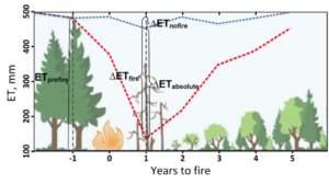
Fires play an important role in regulating forest density, vegetation water use, and runoff.
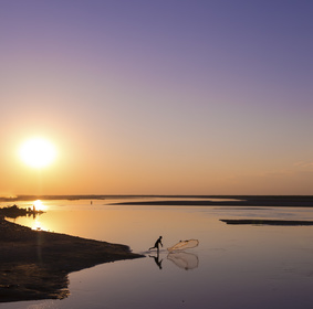
Stable river islands locally known as ‘chars’ are increasing in the Brahmaputra river.
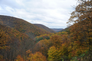
Following changes in long-term forest health around oil and gas wells in the Pennsylvania State Forest.

This research identified the Delmarva as an area of significant salt marsh loss over the last three decades.

Making annual high-resolution agricultural subsurface drainage maps for the Northern Great Plains regions using multiple satellite and model datasets with Google Earth Engine.

Iceberg A-68 calved from the Larsen C during a period of larger then average tidal cycles.
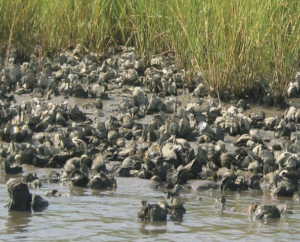
There is evidence of oyster reefs driving estuary-scale detention of freshwater in the Suwannee Sound.
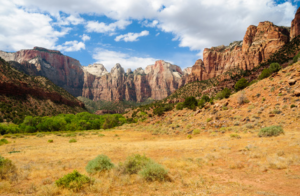
Across the Great Basin from 1984-2016, shrub and grass vegetation are declining.
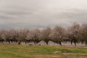
A robust detection method to track crop cover dynamics and identify the planting year through Landsat time series data.
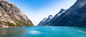
“Great insight comes from thinking in multi-sensor and using several constellations together.”
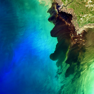
A Landsat 8 image of the Suwannee River meeting the Gulf of Mexico took first place in this year’s Envisioning Science image competition held by NC State.
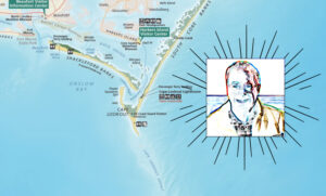
National Park Service cartographer Tom Patterson’s mapmaking process often incorporates information from Landsat.
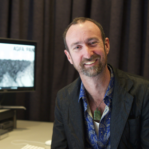
By Laura E.P. Rocchio Grayson Cooke Artist “Open Air” is a media project of Australia-based artist Grayson Cooke that features Landsat 8 imagery as it
Revealing the dynamic nature of glaciers.
Glaciers have been receeding rapidly in many parts of the world, including New Zealand.
The area of mangrove wetlands around the world has been declining over recent decades.
Using Landsat to measure river widths around the world.
Modeling the aboveground biomass and carbon of tidal marshes across the U.S.
Learn more about the huge citizen science kelp mapping endeavor called Floating Forests.
A method for mapping coral reefs or other benthic habitats over time.
Quantifying the impact of historic land-use and hydroclimatic variability on landscape connectivity dynamics across Australia’s breadbasket.
Using Landsat 8’s thermal data to monitor calving events in Antarctica.
Using Landsat data from 1984-2014 to investigate the blue carbon change in Louisiana’s coastal marshes.
Using Earth Observation data to monitor volcanic eruptions.
HLS offers a seamless data set of surface reflectance observations.
Monitoring surface water trends in North Western Canada.