Search
Close this search box.

Category: Water

News Archive
Map of Lake George habitat

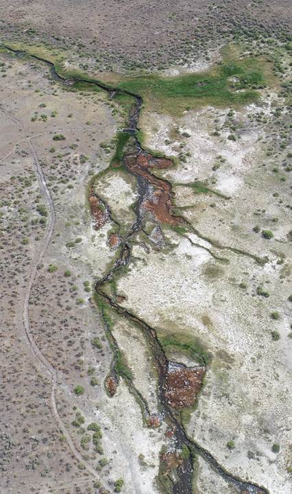
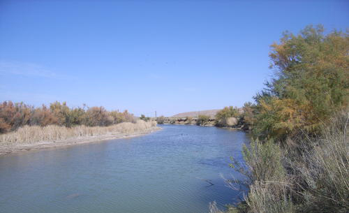
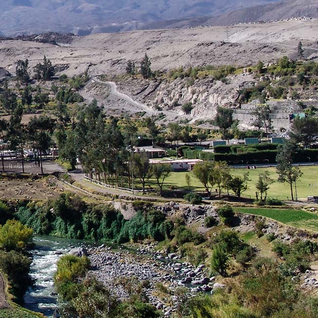
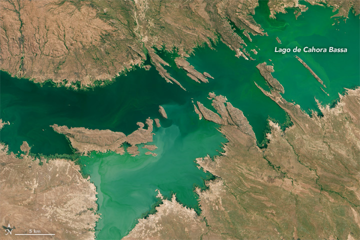
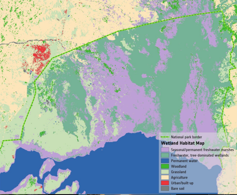
Space Key to Wetland Conservation

Wetlands worldwide are vanishing at an alarming rate. New satellite-informed maps produced by ESA’s GlobWetland Africa project show how satellite observations can be used for the effective use and management of wetlands in Africa.

Read More »
Riparian vegetation in Soldier Meadows

When a River Runs Through Drylands

There is a dance between the vegetation that thrives along a river’s edge and the availability of water; with Landsat, that relationship is now being understood in ways not previously possible.

Read More »